
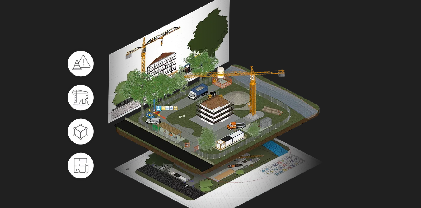
Il corso si propone di fornire agli studenti le conoscenze necessarie per la predisposizione delle aree di cantiere in ambiente BIM. Saranno forniti strumenti utili per l’utilizzo di tecnologie digitali avanzate utili a identificare gli interve
Zusätzliche InformationenAvviso per tutti i docenti e i responsabili dei corsi
A seguito di un importante aggiornamento della piattaforma, attualmente in corso, vi chiediamo di non duplicare i quiz contenenti domande random fino a nuova comunicazione.
Questa misura è necessaria per consentirci di completare l’aggiornamento e risolvere le problematiche riscontrate nel minor tempo possibile.
Vi ringraziamo per la collaborazione.

Il corso di Valutazione Geochimica della Qualità Ambientale ha l’obiettivo di fornire agli studenti strumenti teorici e applicativi per l’analisi, la valutazione e il monitoraggio della qualità ambientale attraverso l’utilizzo di indicatori e
Zusätzliche InformationenIl corso considera i problemi di sicurezza e di progettazione strutturale delle costruzioni nei riguardi dell’azione incendio. Particolare riguardo è dato alle costruzioni in acciaio e in conglomerato armato.
Zusätzliche Informationen
This course will focus on the clean energy transition and the associated sustainability issues. The students will first familiarize with the Sustainable Development Goals of the United Nations. The course will then deepen the most common sustainable
Zusätzliche InformationenThis course will focus on the clean energy transition and the associated sustainability issues. The students will first familiarize with the Sustainable Development Goals of the United Nations. The course will then deepen the most common sustainable
Zusätzliche Informationen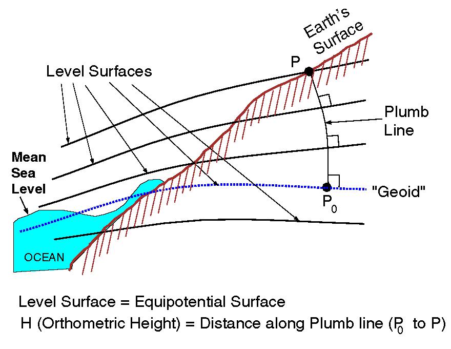
ENG
The course develops the most modern geomatic techniques useful for security and civil protection management including: GIS, Remote Sensing, Drones, Laser Scanning, GNSS.
This page is also the reference for the 'Geomatics' course code 10589233
Zusätzliche InformationenIl corso ha lo scopo di fornire metodi quantitativi
per l'analisi di rischio, delle attività lavorative in genere, degli insediamenti industriali,
delle infrastrutture viarie con particolare attenzione all’esercizio delle
gallerie s
Zusätzliche Informationenper l'analisi di rischio, delle attività lavorative in genere, degli insediamenti industriali,
delle infrastrutture viarie con particolare attenzione all’esercizio delle
gallerie s
Analisi del Rischio 12 cfu a.a. 2018/2019
Zusätzliche InformationenSi forniscono le basi geomatiche per la progettazione e rappresentazione della sicurezza territoriale.
Zusätzliche Informationen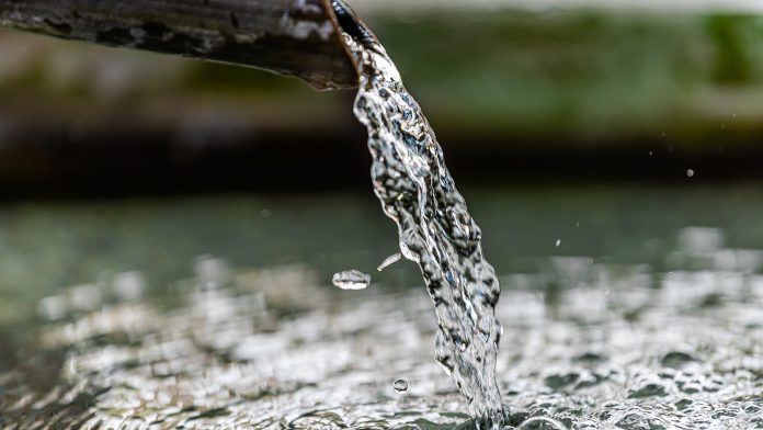
The course aims to make students aware of the aspects of water availability and consumption and the effects that can lead to critical situations that could endanger the safety of the water supply. It aims to show how the supply systems and water av
Zusätzliche InformationenL’obiettivo del corso è quello di fornire una panoramica generale delle moderne tecniche di Machine Learning e delle loro principali applicazioni nei sistemi di sicurezza. Oltre alla descrizione dei principi fondamentali del Machine Learning, il c
Zusätzliche InformationenThe course aims to present and apply geostatistical methods and spatial interpolation models in order to define regionalized variables.
The sampling phase (data acquisition) includes:
Statistical analysis (explanatory data analysis): Analys
Zusätzliche InformationenThe sampling phase (data acquisition) includes:
Statistical analysis (explanatory data analysis): Analys